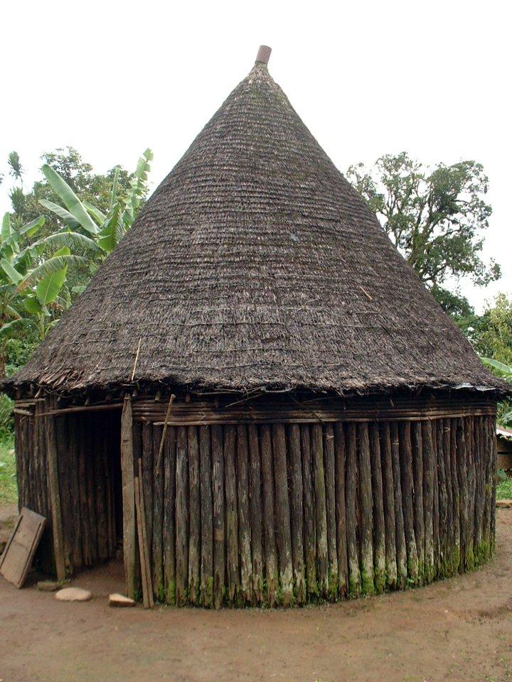
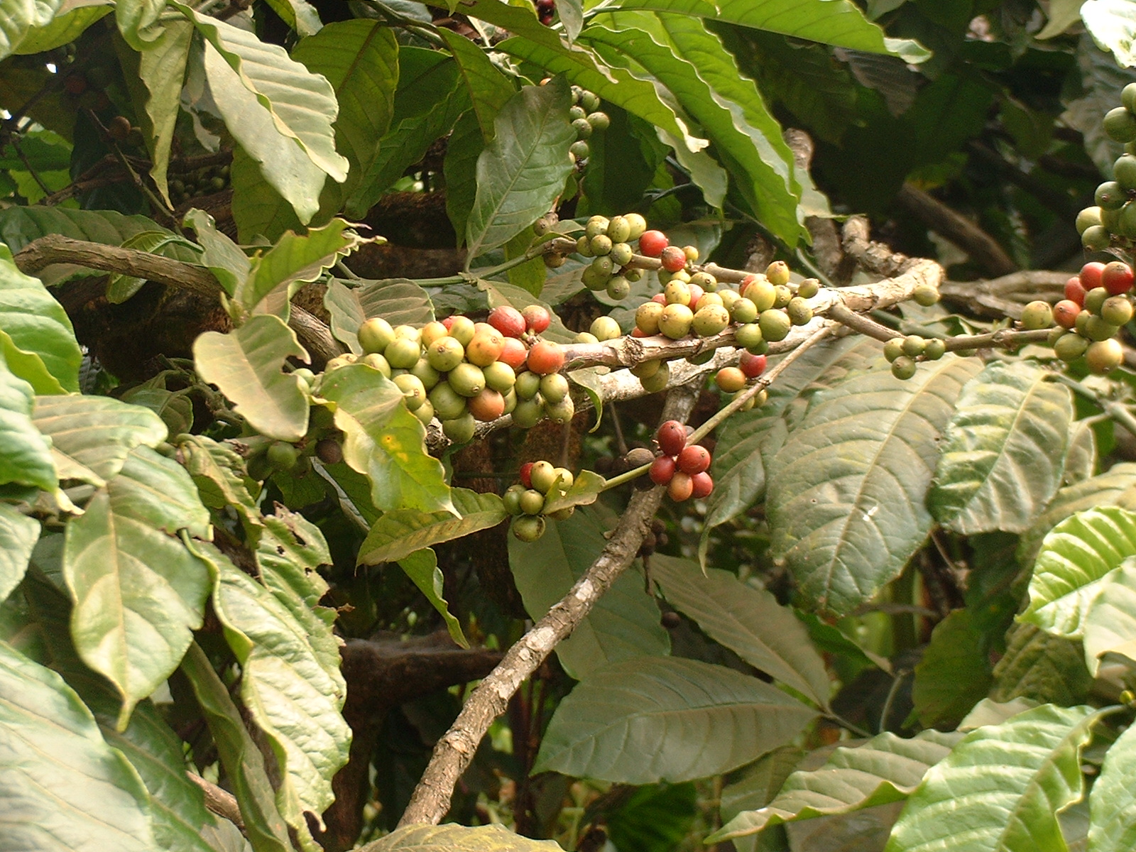
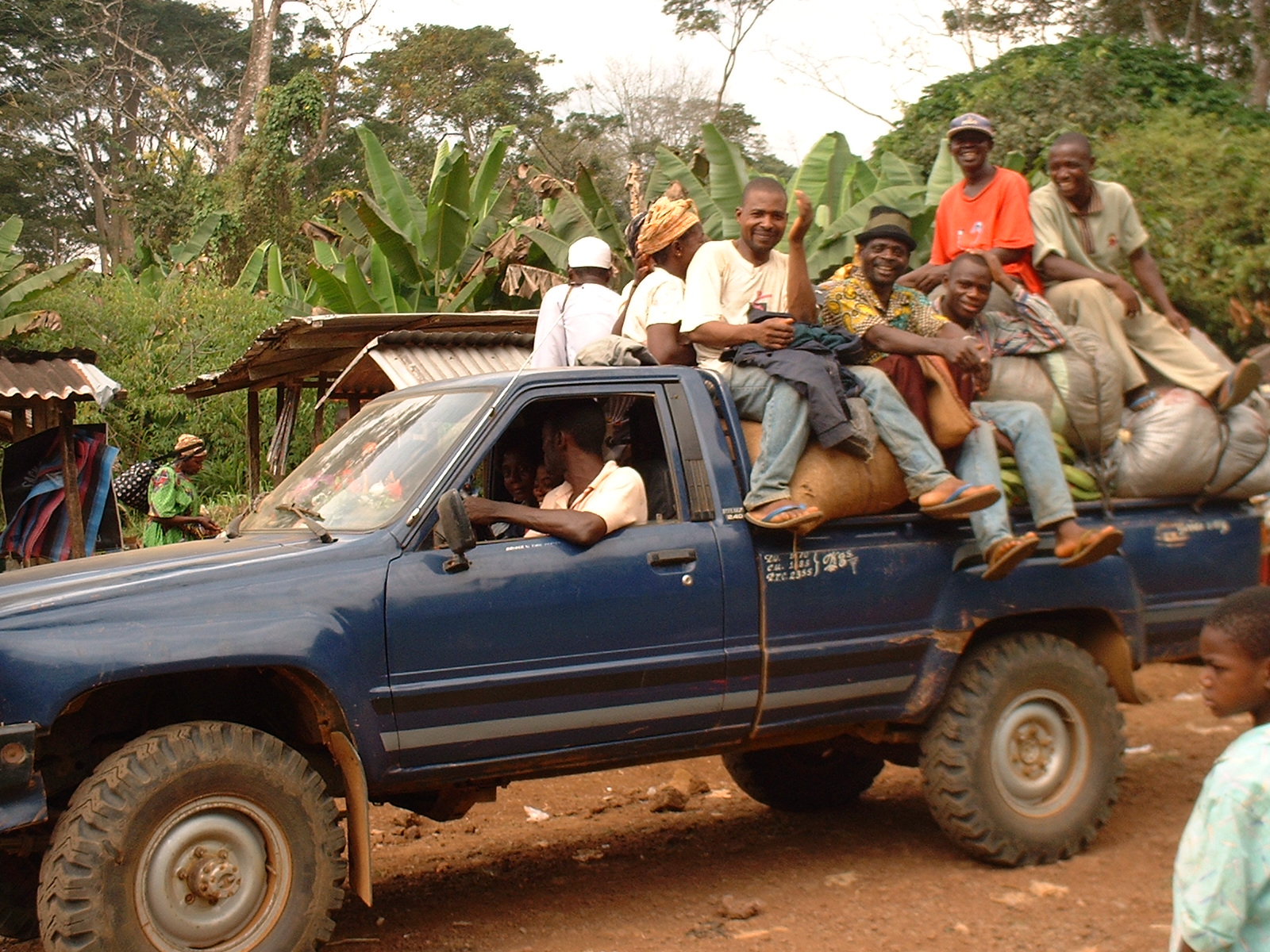
BAKOSSI: INFORMATION NOTE By S. N. Ejedepang-Koge Introduction: The Bakossi live in Kupe-Mwanenguba (Bangem, Nguti and Tombel Sub-Divisions) and in Moungo Divisions. The land is dominated by two volcanic mountains (Kupe 2050m and Mwanenguba 2396m), the Caldera, twin Lakes of Mwanenguba, Lakes Edib and Bemin. The worldview of the people is framed by these mountains. The landscape varies from lowland to highland, with rich agricultural soils. The mountains give rise to the many streams that water the land and drain into the Wee or Mungo and Mbwe Rivers. The land is covered by dense forest that degrades with altitude and harbours a rich variety of trees, birds and animals. The land is warm in the lower altitude and cooler the higher one moves into the upper stretches of the mountains. Anthropological Background: This physical environment has conditioned the people’s architecture: round and conical hurt that conserves warmth (Ndabechum), and an oblong (Ekule) thatch hut suitable for warm areas. The Bakossi number about two hundred thousand. Related to the Bakundu, Bassossi, Mbo, Balong Bafaw, etc, they all claim the couple Ngoe and Sumediang as their ancestor. For the purpose of cultural solidarity, these people usually group themselves under the eponym Mwan e Ngoe or Mwan’ Ngoe, or Bani Ngoh (children or descendants of their material, culinary and religious cultures are related, without always being identical. Except for the Bafaw, they live in Kupe- Mwanenguba and Moungo Divisions. Migration and Land Occupation: From their cradle, Mwekan, on the southern slopes of the Mwanenguba Mountain, the people migrated to all directions. Being originally hunters and gatherers, they needed much land space. While the Mbo migrated to the northwest and northwest, and the Bakundu to the west, the Bafaw are believed to have been the earliest to migrated south. They were followed by the Asomengoe Clans of Bakossi, who obliged them to move further south and west peacefully, but sometimes through conflicts and fights over possession of land. There is talk of the Bakossi-Bafaw war that consisted of a series of intermittent battles whose end was confirmed by the fixing of the boundary between the Bakossi and the Bafaw in the following manner: The Southern Boundary between the Bakossi and their Bafaw brothers was fixed at the Ngomelenge Stream, which the Bafaw call Efoto. The name Ngomelenge is significant because it is a reminder of the eternal peace that ended the intermittent battles between the Bakossi and the Bafaw. It is a combination of two words: Ngom (a skin drum i.e. a hollowed trunk with one side covered with the skin of an animal, used for music and sending of messages, making announcements and, the second part, “Elenge”, means “round” or endless. The compound word means “peace that is endless, eternal peace”. Ngomelenge Stream/Efoto is situated just about one and a half Kilometres from the Cameroon Development Corporations’ Bakossi Camp (sometimes called Bakossi Village). By the extension of CDC Mukonje Estate into this area in the 1950s and, in recognition of its Bakossi ownership, the new workers’ camp was named Bakossi Camp or Bakossi Village. This toponymical arrangement or method of giving names to CDC Camps was consonant and consistent with the general policy of the CDC which consisted in giving local names to it workers’ camps: Laduma, Dipanda, Bekili, Palabongo, Kompenda, Mukonje, originally names of Balong created in the early 1950s. The Bafaw village of Mambanda is one kilometre from Ngomelenge (Efoto) Stream.”. Toeke/Toke/Toake, is another village in the area. It is a shortcut of the sentence, “Toe ake or E to’e ake”. It means “Safe journey or Travel with caution”, Take care/ Be cautious as you travel.” This hamlet is three kilometres from Ngomelenge stream, the boundary mark (between The Bakossi and Bafaw). The name Toeke served as an eternal warning to all Bakossi people travelling by this way to avoid any situation of conflict with the Bafaw. The warning was necessary in spite of the eternal peace that had been concluded with their Bafaw brothers and neighbours. The orthography of the name has been corrupted to Teke, rather than Toeke. The western boundary that separates the Bakossi from the Bafaw and the Bakundu was fixed at Akobwelle. This is a huge tree on which spears and machetes that had been used in fighting were stuck to signify suing for peace and the end of the war. The tree is on the banks of a tributary of the Mungo River called Nya Mwen’nziog. These three groups have never again been involved in war. By the municipal reorganisations of 1970 and 1980s, Kumba Urban Council was extended into a strip of Bakossi territory including Bakossi Camp/Village and Toeke. This did not pose a big problem, because Bangem, Nguti and Tombel Sub-Divisions were still part of Meme Division. Since the upgrading of the three Sub-Divisions to Kupe-Mwanenguba Division in September 1992, Tombel Sub-Division is questioning why part of its territory should remain attached to Meme Division in general and Kumba Urban Council in particular. Economic Activities: Agriculture is the dominant activity: Subsistent Agriculture or Food crops: cocoyams, plantains, banana, cassava, yams, fruits and vegetables, and Cash-crops (cocoa, coffee). Farms are generally small (two to five hectares), but there exist a few large-scale farmers. While the Fulani are engaged in extensive cattle rearing in the Caldera and on the slopes of the Mwanenguba, some native households rear a few goats, sheep, pigs, and chicken. Favourable climate, rich agricultural soils, the hospitality of the people and the early establishment of missionaries in Nyasoso and Baseng, as well as European plantations at Etam, Tombel and Essossong) and have attracted migrants from all parts of the country and further a field, especially to Tombel, which has become a cosmopolitan area. Though natives rarely engage in commercial activities, they serve in tertiary activities and in the professions which, coupled with the land-locked or enclave nature of the land, promote rural exodus. The few and deplorable roads of the area are a great handicap to the development of the people. Many parts of the Division are inaccessible by motor vehicle. Therefore, because the surplus of subsistent agriculture and cash crops are evacuated with great strain, productivity is inhibited. |
Ndabechum
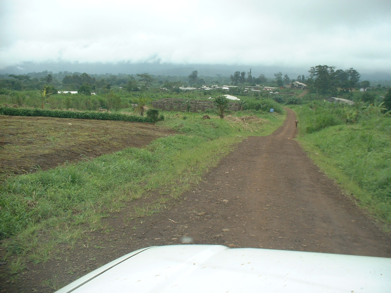
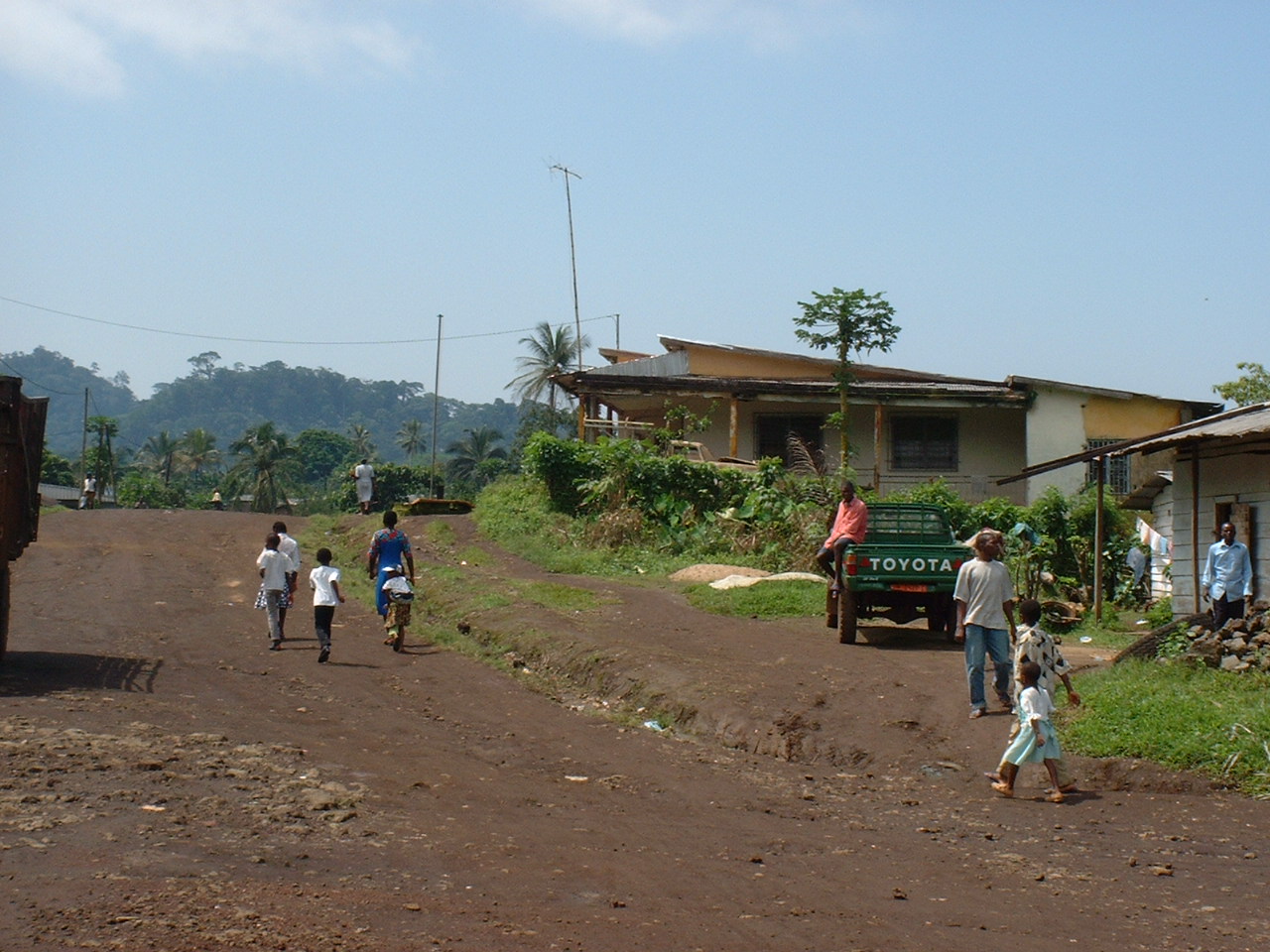
Road to Bangem. Headquater of Kupe-Mwanenguba Division
Bangem Centre/
Bangem View
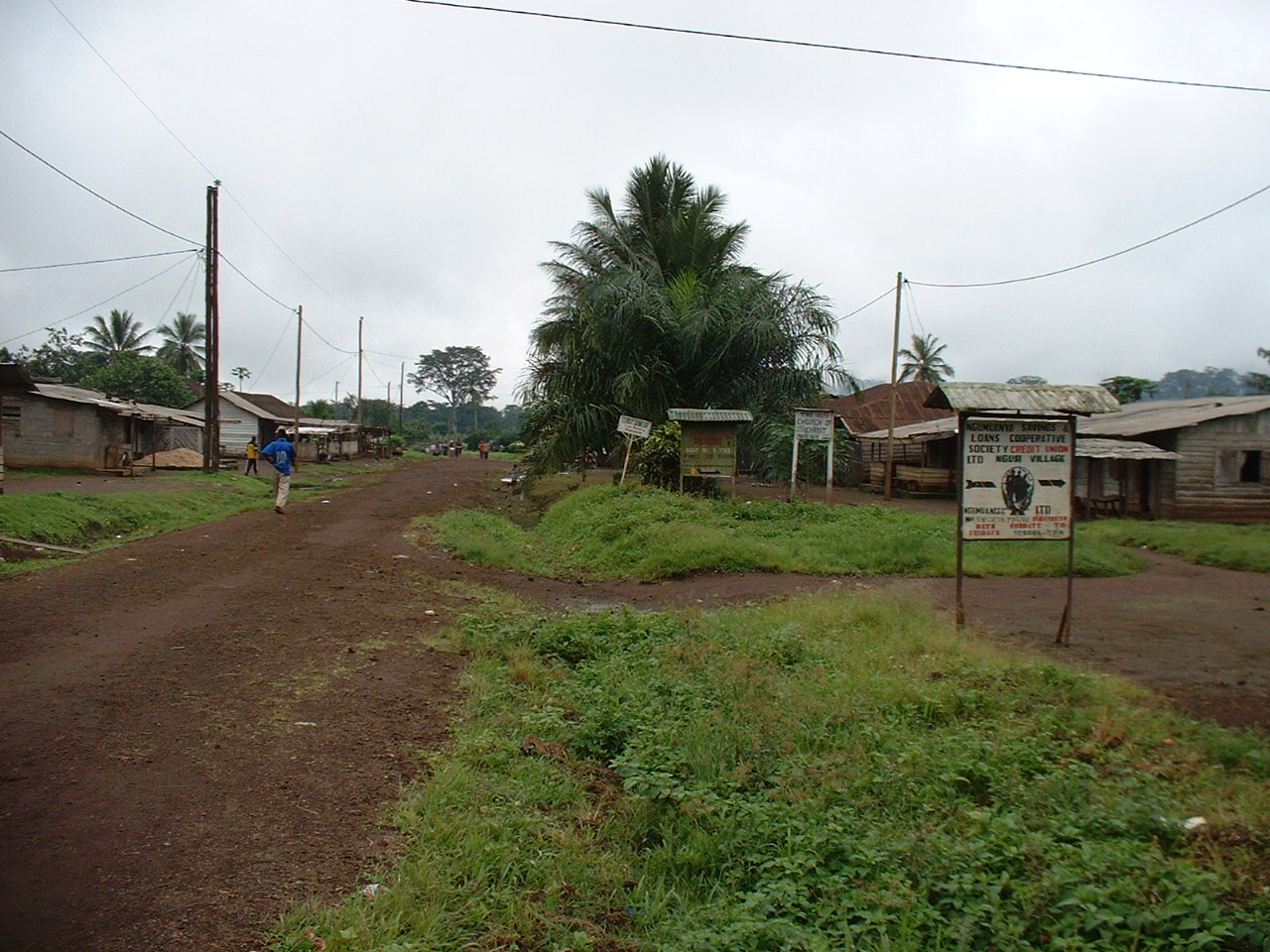
Road to Tombel. Headquater of Tombel Sub-Division
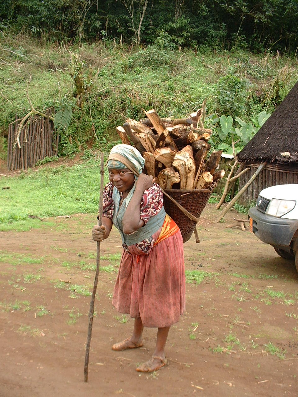
A Typical Bakossi Woman from the Farm
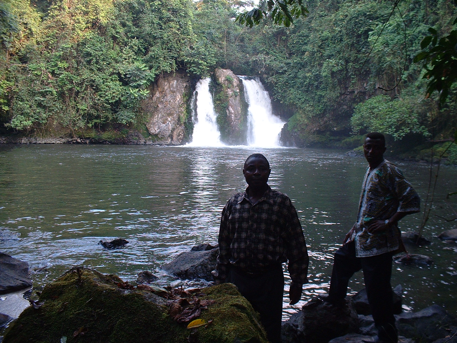
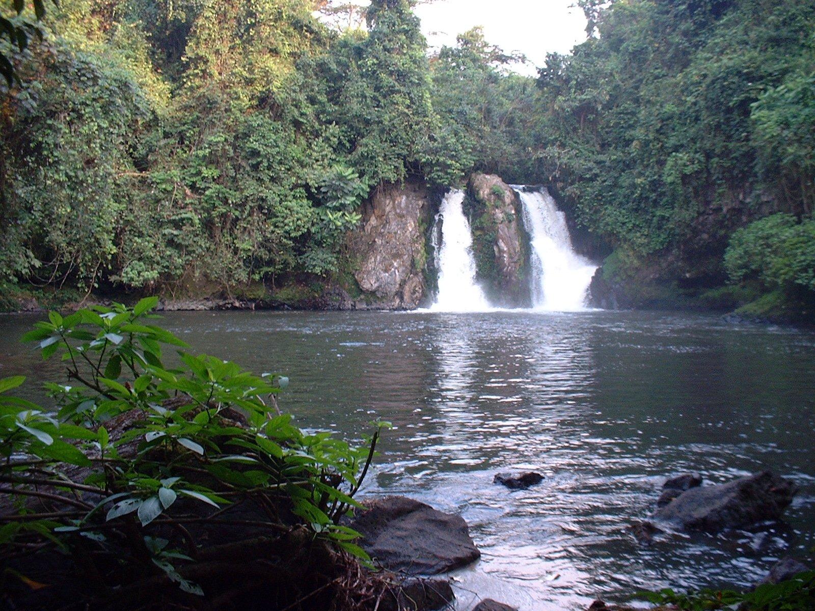
Waterfall in Baseng- Tombel
Road to Ngusi one of the villages in Kupe-Mwanenguba
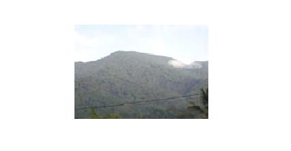
Kupe-Mwanenguba Mountain Range
NdibeNdele in Baseng
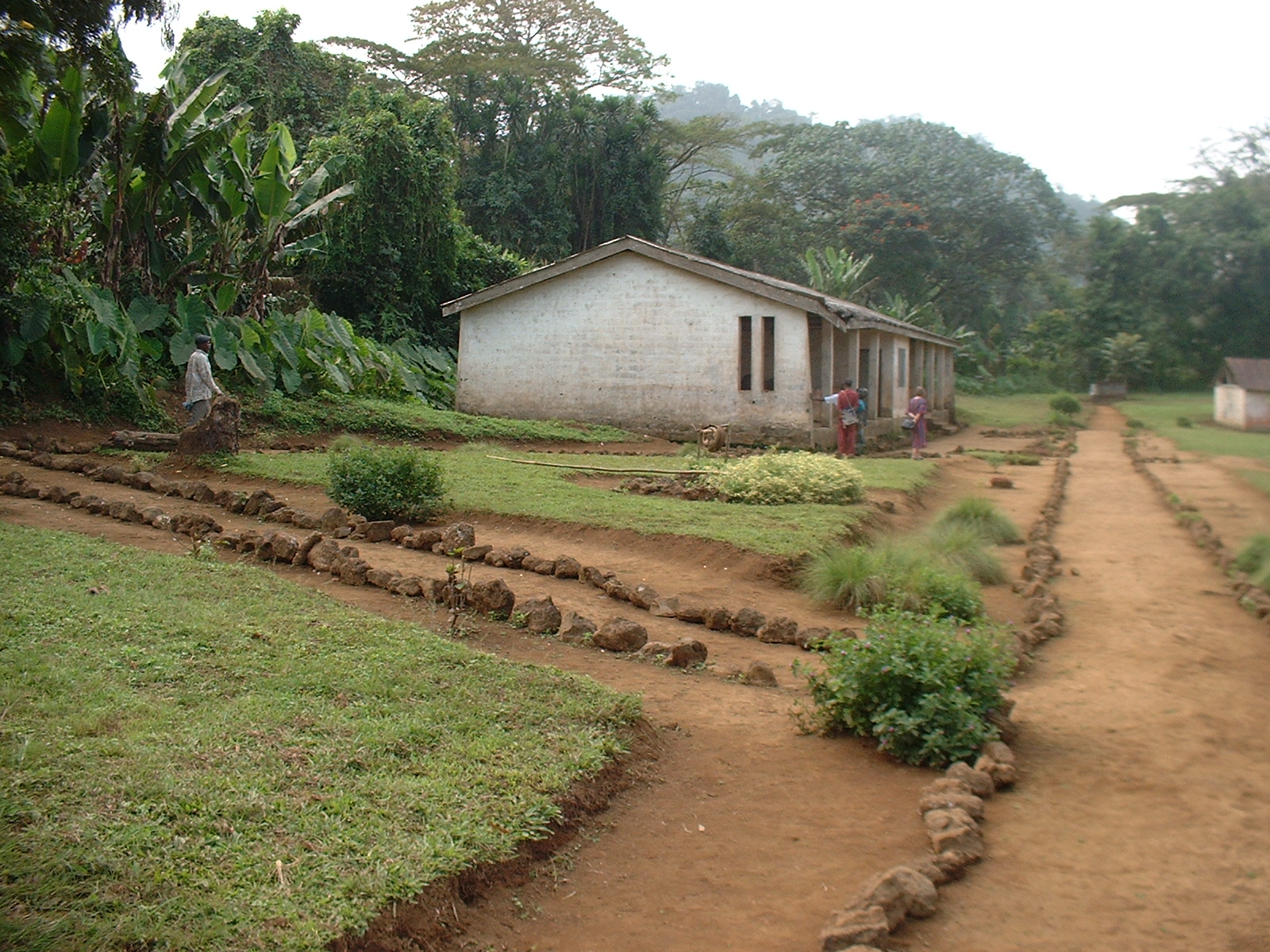
Ndom Primary School
Coffee/ One of the cash crops in Kupe-Mwanenguba
|